2024-06-12 6192词 晦涩
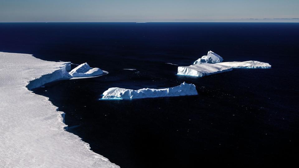
Over the next hour and a half, we drilled 15 feet into the mile-thick ice. We fed a long pole topped by a solar-powered GPS receiver into the hole and stood it straight up. In the ensuing days, we were scheduled to set up four identical sites in a long line, the last one near Greenland’s center. Each will help calibrate a $1.5 billion satellite, known as NISAR, that NASA has been building with the Indian Space Research Organisation. After the satellite launches from the Bay of Bengal, its radar will peer down at Earth’s glaciers—even at night, even in stormy weather. Every 12 days, it will generate an exquisitely detailed image of almost the entirety of the cryosphere—all the planet’s ice.
免责声明:本文来自网络公开资料,仅供学习交流,其观点和倾向不代表本站立场。